Record of FULWOOD HISTORY GROUP MEETING 21st October 2024
Present: J.B., A.C., D.M., C.M., K.P.
Ringinglow Ramble Part II
October’s meeting took the form of fieldwork around the Ringinglow area, building on our first Ringinglow walk in June. Our main focus was the mines and quarries of the area. Throughout our walk, DM referred us to the report From Cairns to Craters: Conservation Heritage Assessment of Burbage (Bevan, B. 2006. Moors for the Future) which contains information relating to features we looked at. See also Friends of the Porter Valley’s publication Mining and Quarrying in the Porter Valley – Delving into the Past (Peter Kennett, 2006) which provides details of most of the features we looked at.
- We met at the layby opposite the Norfolk Arms where we began by looking at AC’s copy of Burdett’s 1791 Map of Derbyshire
- We headed west towards Sheephill Road, passing the site of the old Weigh House and weigh bridge – see notes from June’s Ringinglow Ramble
- We took a short diversion over the stile on Sheephill Road and into Barberfield and the Limb Valley to revisit the site of former mines and remains of spoil heaps (see Bevan, 2006). We discussed the alignment of the Roman Road between Brough and Templeborough, how it may well have run across this area and recent archaeological work on this – a focus for a future walk.
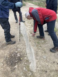
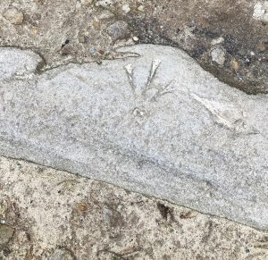
- After returning to Sheephill Road, we crossed over to the Houndkirk Road which leads to Stanage Pole. A couple of hundred metres along the track, (what3words) there are a number of embedded stones which appear to have a range of marks cut into them, one of which is a benchmark-type symbol. It was suggested that this could be connected with the military, who were active in this area during WWII.
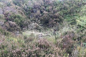
- After following the boundary of Lady Canning’s Plantation round to the northwest, we crossed Ringinglow Road and followed the track leading north to Brown Edge Quarries. Immediately to right of the footpath, we passed the sites of bell pits which were obscured by the heather and bracken. We heard about scars in the land left by peat workings and the remains of Kelly’s House, all of which lie to the west side of the footpath. For information on Kelly’s House, see AC’s December ’23 post on this website: Ringinglow People: Henry Kelly
- Heading up to Brown Edge, we passed the site of a WWII bomb crater.
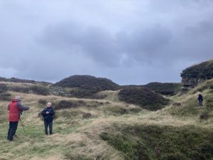
- We then dropped down over the edge and walked in a roughly westerly direction towards Brown Edge Quarries. On the way, AC pointed out possible boundary stones marking the former Derbyshire/Yorkshire border. See Alan’s Substack piece ‘Searching for Knaves’ to find out more.
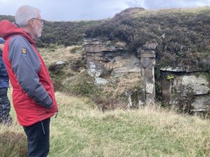
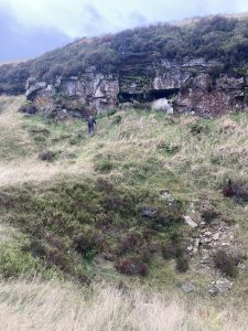
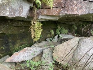
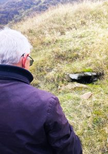
- We reached the Brown Edge quarry complex, ‘the most extensive in the [Porter Valley]’ (page 6, Kennett, 2006). It dates from at least 1715 and was still in use in the early twentieth century when Henry Hancock was the owner. The different types of stone extracted were suitable for various aspects of building such as walls, roof tiles, flagstones and paving stones. AC discovered what may have been a quarrymen’s shelter in the rock as well as an intriguing hole which seemed to have been built into the turf.
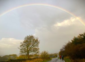
- A rainbow led our walk back to the layby along Ringinglow Road
- Next meeting November 21st at Broomhill Library
