Record of FULWOOD HISTORY GROUP MEETING 27th March 2025
Present: D.A., J.B., A.C., M.L., C.M., J.P., K.P.
Discussion included:
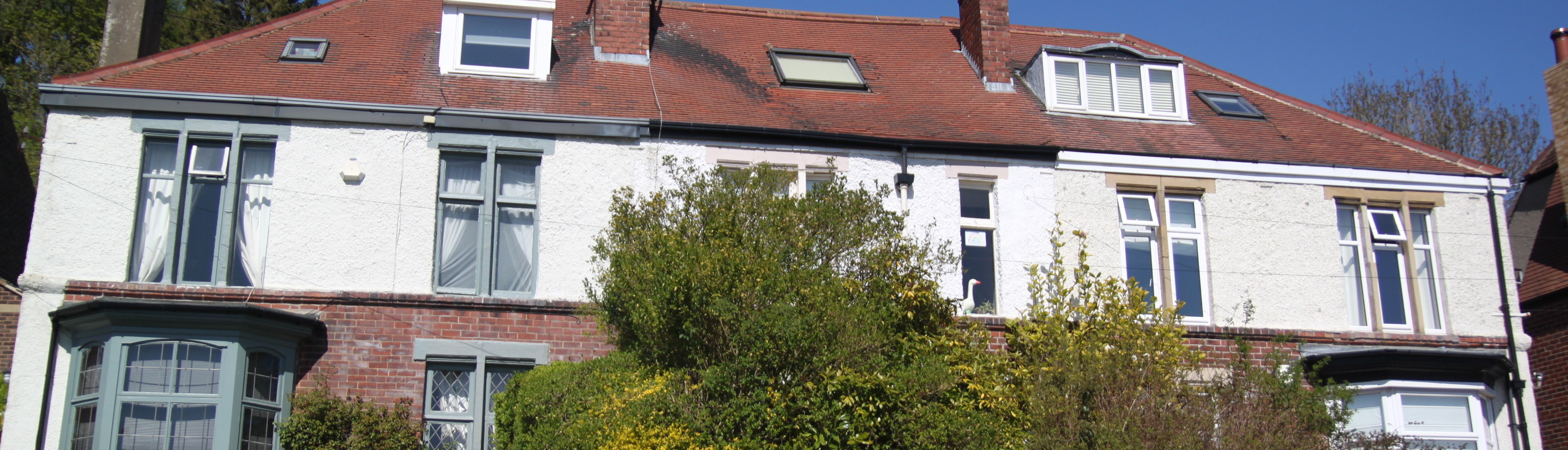
- A walk C.M. had undertaken with G. Hague around the loop of the Clarendon Road in the area formerly known as the Machon House/Fulwood Estate which was developed over the 1920s-30s (see pages 128-132 of KP’s From Village to Suburb: A History of Fulwood between 1880 and 1940); varied designs of houses remarked upon
- James Hayton Stainton, reporter, writer, local historian and artist whose book Past Chapters in Sheffield History was published in 1918
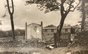
- Cabin on Canterbury Crescent: originally a shed for tram drivers after tram extended to Canterbury Crescent in 1921, later a sweetshop/newsagent; is it listed? Should it be?
- ML’s involvement with archaeology and forthcoming event – Redmires POW Camp: Excavating History
- Edward Carpenter and his connection to Freeman College and Orwell’s comments
- Local gardeners theme from last month’s meeting:
- Stocks family of horticulturalists who were gardeners to Henry Dixon of Stumperlowe Hall; buried in Fulwood churchyard
- Link between private/jobbing gardeners and growth of suburban housing with its gardens and acceptability/prestige associated with well-tended lawns and beds (similar to prestige attached to having a domestic servant); previously, gardeners would have been attached to substantial villas and mansions
- Forthcoming 80th anniversary of VE Day: DA recording his mother’s memories; could be a wider project after this
- AC’s communication with J. Hancock via the FHG website in response to his article
- KP suggestion of FHG book collaboration: Aspects of Sheffield?
- Role of firms in controlling their workers e.g. through sport, developing reliance on the firm, temperance, church, social events, arts in order to avoid political unrest and comply with middle class values – see Reid, C. (1976). Middle Class Values and Working Class Culture in Nineteenth Century Sheffield – The Pursuit of Respectability.
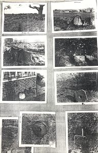
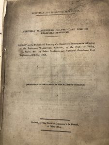
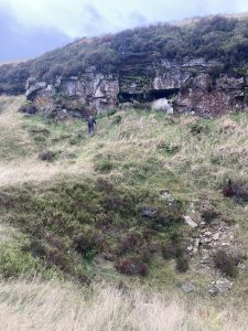
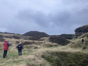
- Report shared by ML relating to Roman and Medieval archaeology in the area around School Green Lane; written by R.D.Y. Perrett, the report dates from 1960; the material would be a good candidate for further investigation in the form of a walk in the months ahead; linked to ley-lines and thoughts about these
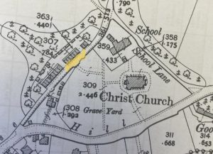
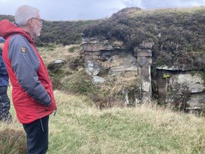
- The wall running along Oakbrook Road
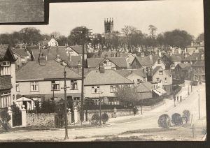
- Lower Chorley Road – the location of picture on page 65 of KP’s book cited above.
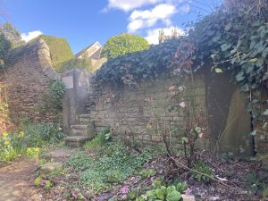
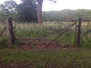
- CM’s query about Chorley Road entrance to Fulwood churchyard – stonework, bay and large gateposts suggest it was wider and more significant in the past, perhaps for carriages to pull in; led to discussion of the graveyard and how it was extended in the 1880s with its retaining wall and also DA’s childhood recollections of seeing graves being dug and of vaults.
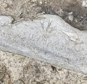
 1903
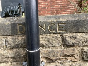
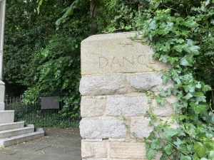
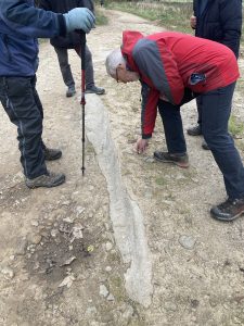
1903 - Carvings/inscriptions on walls such as DANCE at two sites in Fulwood, (appeared after the 1990s?), and RAIN at Black Swan Walk in city centre
Next meeting at Ranmoor Market/Ranmoor Inn 17th April
